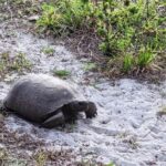
Gopher tortoise surveys
using GIS TECHNOLOGYGIS stands for Geographic Information System. It is a computer system that allows to capture data on the field and display it on a map, and analyze patterns like the repartition of burrows, their size, their activity status and more in Hundred Acre Hollows so we can follow the health of our Gopher tortoise population.

Introduction
Methods
Results
Data Analysis
Conclusion
2020 Tortoise Burrow Data Analysis
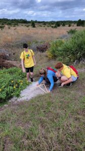
In early 2020, Yuliang Huang and a team of volunteers surveyed the gopher tortoise burrows on our property. Using calipers, they measured the burrows and observed whether they were active, inactive, or collapsed. The collected information was then analyzed with ArcGIS software to find patterns in the data.
The result of this study has been published online and can be accessed by clicking the button below. Please take a moment to click through and see the results of this amazing project.
2022 Tortoise Burrow Data Analysis
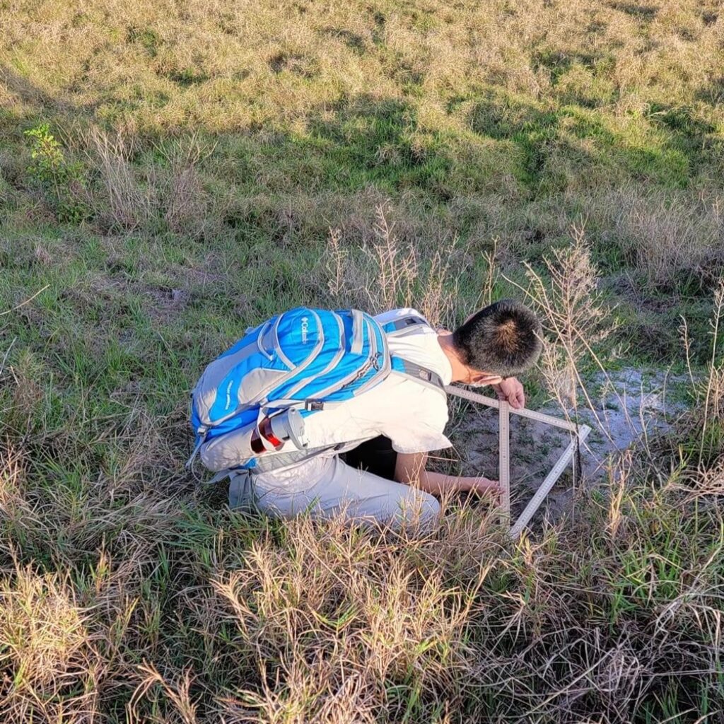
In continuation of Yuliang Huang’s project, a group of volunteers went back out to Hundred Acre Hollows in early 2022 to survey the gopher tortoise burrows. The data collected from the gopher tortoise burrows from this survey would then be compared to the results gathered in the 2020 tortoise burrow data analysis. Over 500 gopher tortoise burrows were found in 2020 and two years later the 2022 survey found over 600 gopher tortoise burrows.
The results of the 2022 study were published online and can be accessed by clicking the button below. Please take a moment to look at the results and interactive maps generated for this amazing project.
A short and sweet title for this section.

Position or title
Position or title
Position or title
Position or title
Position or title
Position or title